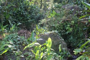
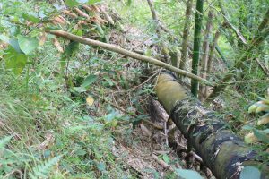
From Bowden Hill-Falling Edge Waterfall, the following lithology was observed
Boulder-Size Mafic Volcanics.
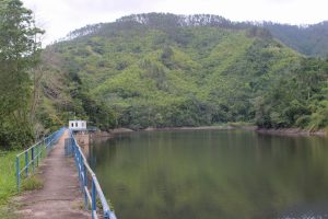
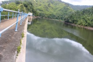
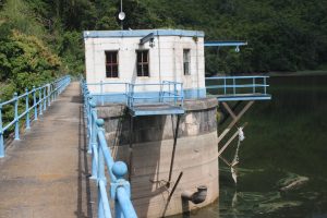
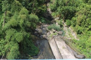
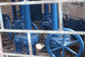
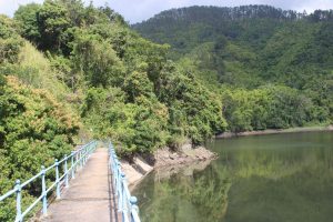
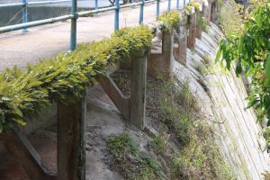
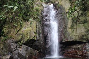
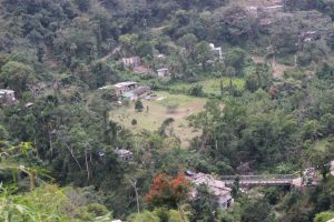
Photo CapturesRetaining Wall: Alluvium Section (Stony Hill)Boulder-Size Mafic Volcanics in tributaryView of Hermitage DamView of Hermitage DamView of Hermitage DamClose up of Hermitage dam with highlight of water level markers at higher capacityRiver bed interaction with Hermitage DamClose up of National Water Commission Station at Hermitage DamClose Up of National Water Commission at Hermitage DamClose up of Hermitage Dam Banks, giving indication of water levels when at higher capacityClose up section of Hermitage DamRiver bed at other side of Hermitage DamClose up of underside of Hermitage DamPipe transporting pumped water away from Hermitage Dam.Water Pipe from Hermitage Dam, exposed in eroded road surface, in Bowden Hill, St. Andrew.Landscape view of Falling Edge WaterfallPortrait view of Falling Edge WaterfallChill Spot at Falling Edge FallsWater from Falling Edge Falls flowing into Hermitage DamChill spot for Hikers. Falling Edge FallsJoin our Excursions: Hike & Geo-Explore. Click HereLandscape view of Bowden Hill (section)Landscape view highlighting bridge that connects Bowden Hill to Stony Hill. Also in view is Alluvium geology, as well as the river that drains from Hermitage Dam.Landscape View overlooking sections of Stony Hill…