Bauxite Environment Jamaica| Hatfield, Porus, St. Toolis
Author
admin
Date
May 2, 2026
Share
Filter By Category
Eat More Calories Than You Burn:
[vc_row][vc_column][vc_column_text]
Overview
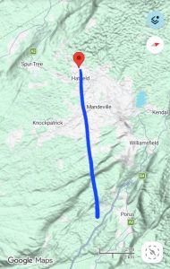
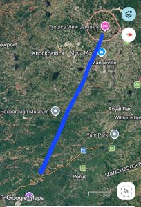
Terrain View (our observation points-general): Hatfield & Porus + St. Toolis.Satellite View (our observation points-general): Hatfield & Porus + St. Toolis.
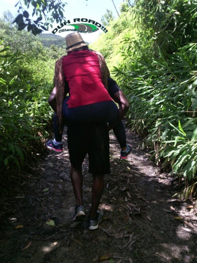
On April 26, 2026, we set out to observe Bauxite mine pits & associated carbonate structures. This visit served as a continuation of our supportive geologic fieldwork to Mr. Wood’s ClarendonCopper.com Bauxite (Jamaica), research. To view another section of our field work, view our Bauxite Mystery (Hatfield-Treasure Beach) post.
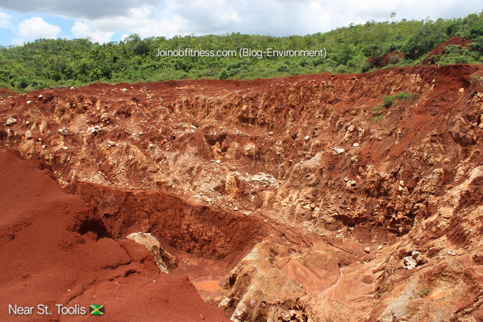
Essentially, this visit highlighted a consistent display of vertical piping architecture; with potential heights in the hundreds of meters, relative to sea level.
Bauxite Formation & Deposition Hypothesis
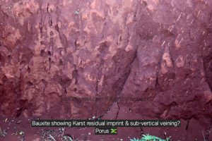
The bauxite observed displays signs of residual/laterization & vertical uplift with mold-like appearance–through potential semi-fluid & pressure dynamics.
This potential semi-fluid & pressure dynamic, shows signs of partial contributions through tectonism (see photo gallery below).
Geologic Environment History of Hatfield, Porus & St. Toolis via Fossils & Lithology Observation
In Hatfield, Karst, White Limestone was observed. In Porus (Bauxite Mine), a bivalve fossil & benthic foraminifera were observed. Near St. Toolis, a coral fossil was observed, as well as zones of recrystallization (calcite). With these observations as highlights, the combined geologic history, reflects a near-shore to deep, marine deposition environment (intertidal-continental shelf).
 This potential semi-fluid & pressure dynamic, shows signs of partial contributions through tectonism (see photo gallery below).